01 / Start
Choose a format
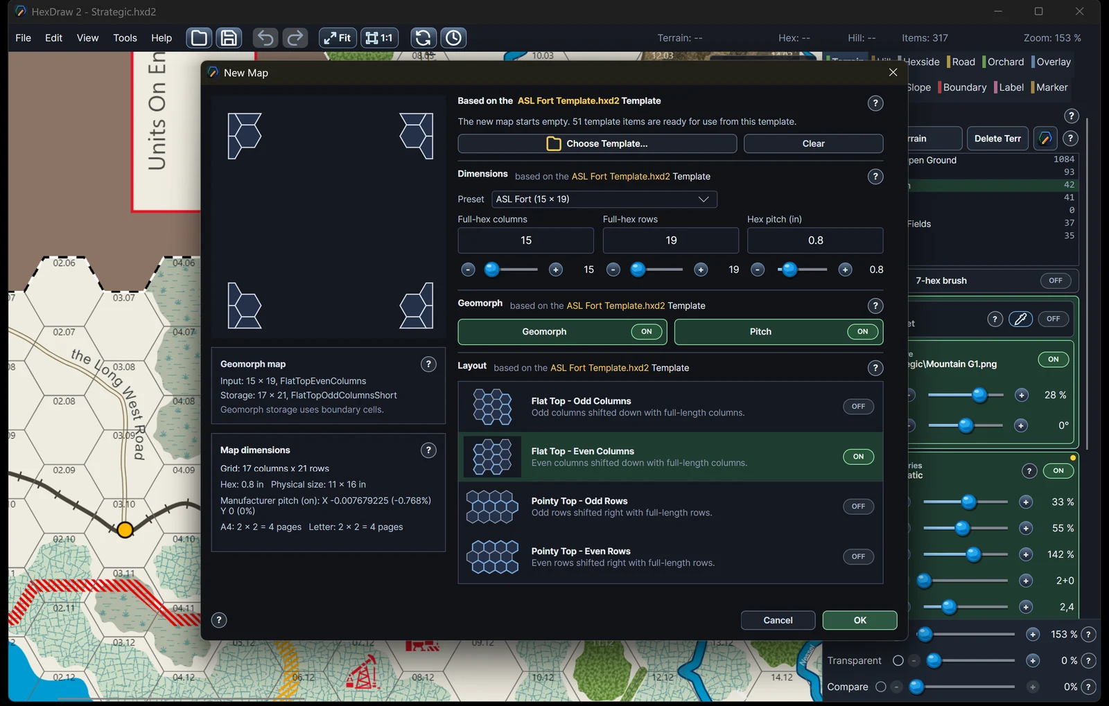
Start with a template or define your own grid and dimensions.
Purpose-built for wargame map design
Start from a prepared template or define a custom hex format, then build terrain, roads, elevations, labels, and artwork in one purpose-built Windows desktop editor.
Purpose-builtWargame geometry
Self-contained.hxd2 map packages
Available nowFull version and free demo for Windows
One connected map-building workflow
01 / Start
Start with a template or define your own grid and dimensions.
02 / Build
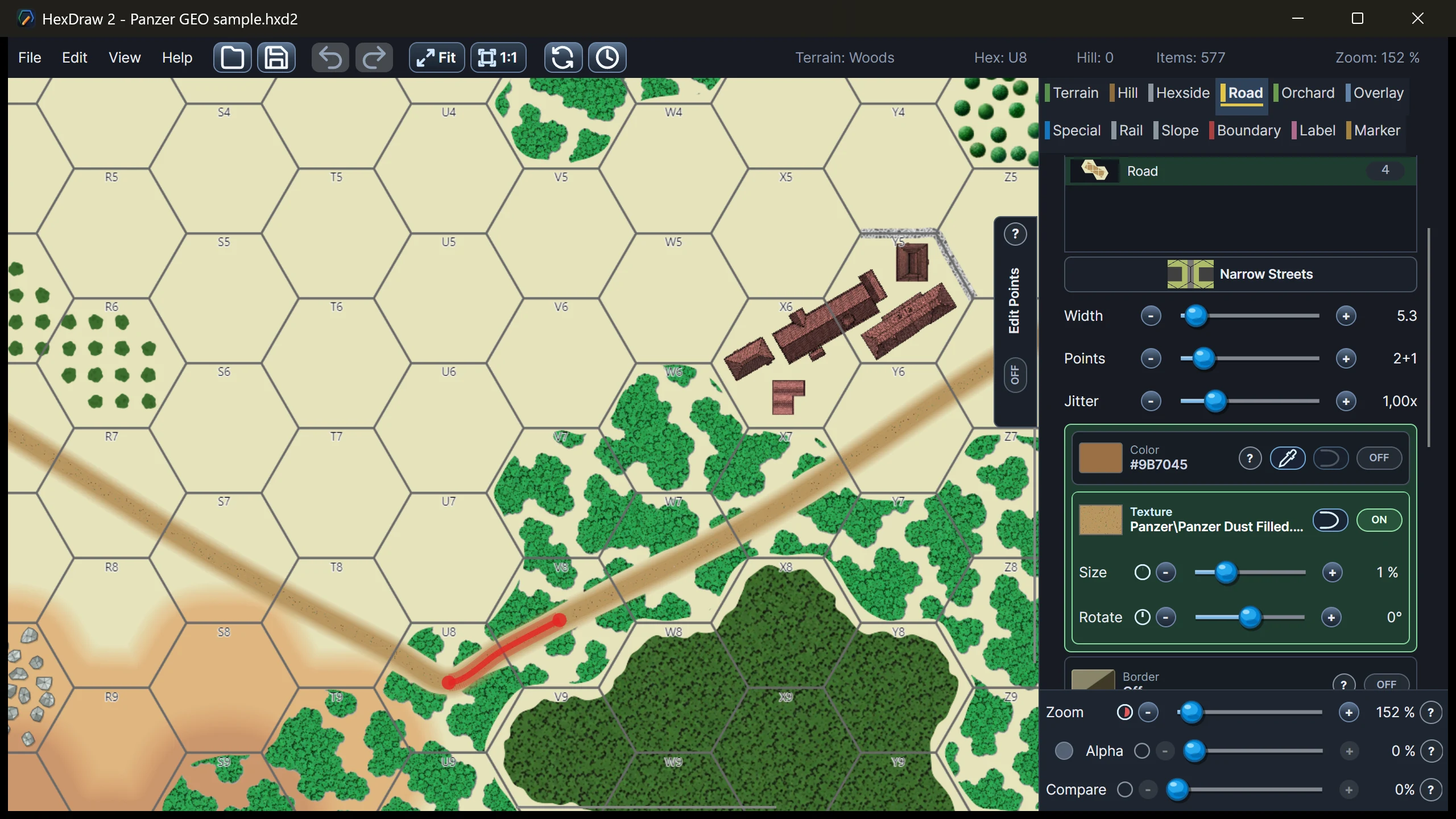
Paint terrain and draw roads, rails, slopes, and boundaries.
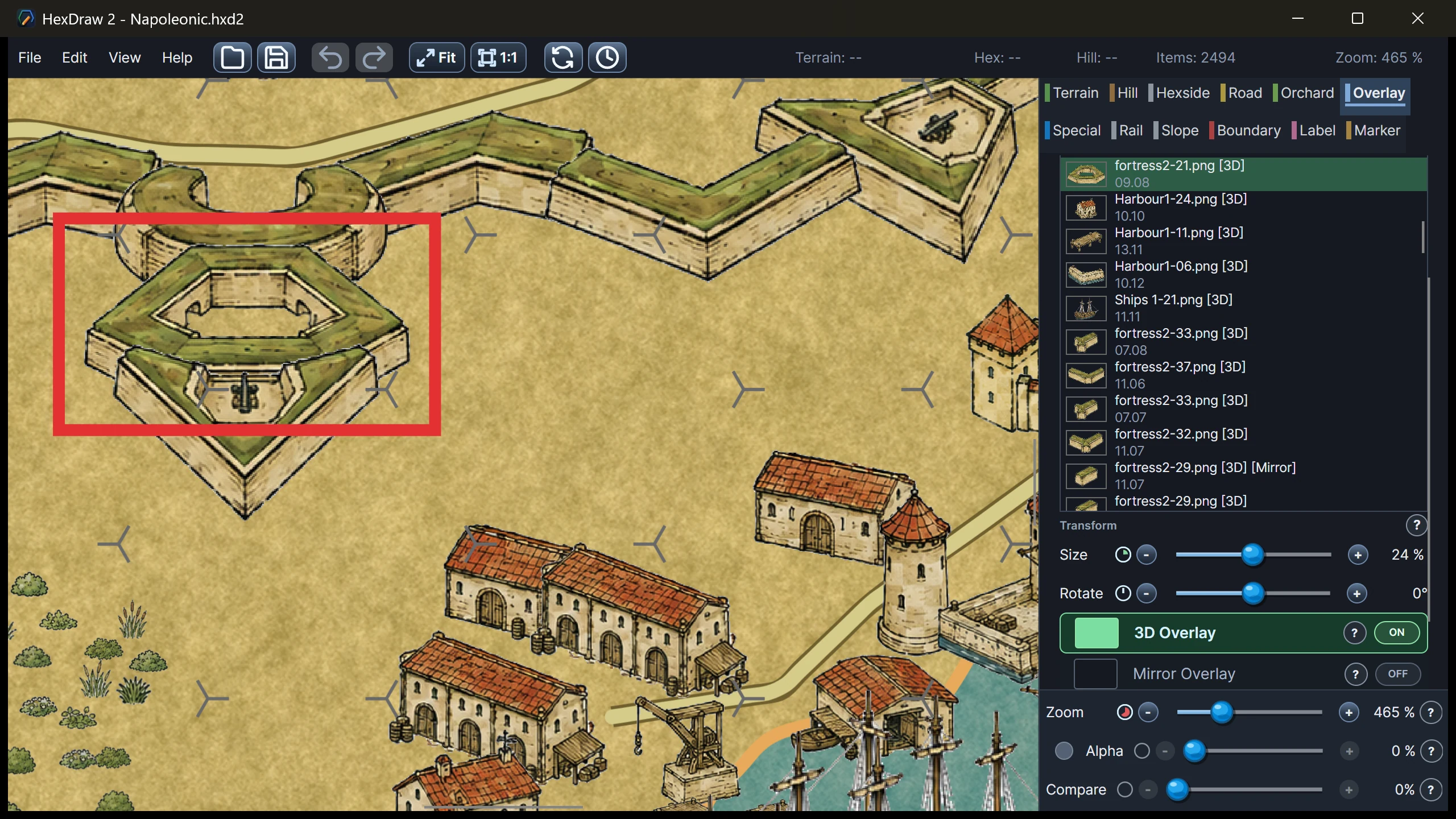
03 / Refine
Add reusable artwork, labels, and markers.
A specialist workflow
General-purpose graphics software can draw maps, but HexDraw 2 already understands hex grids, geomorph edges, terrain levels, numbering, and physical board dimensions.
Blank templates or a custom format
Start immediately with a preconfigured blank map template, or create a completely new map format from scratch.
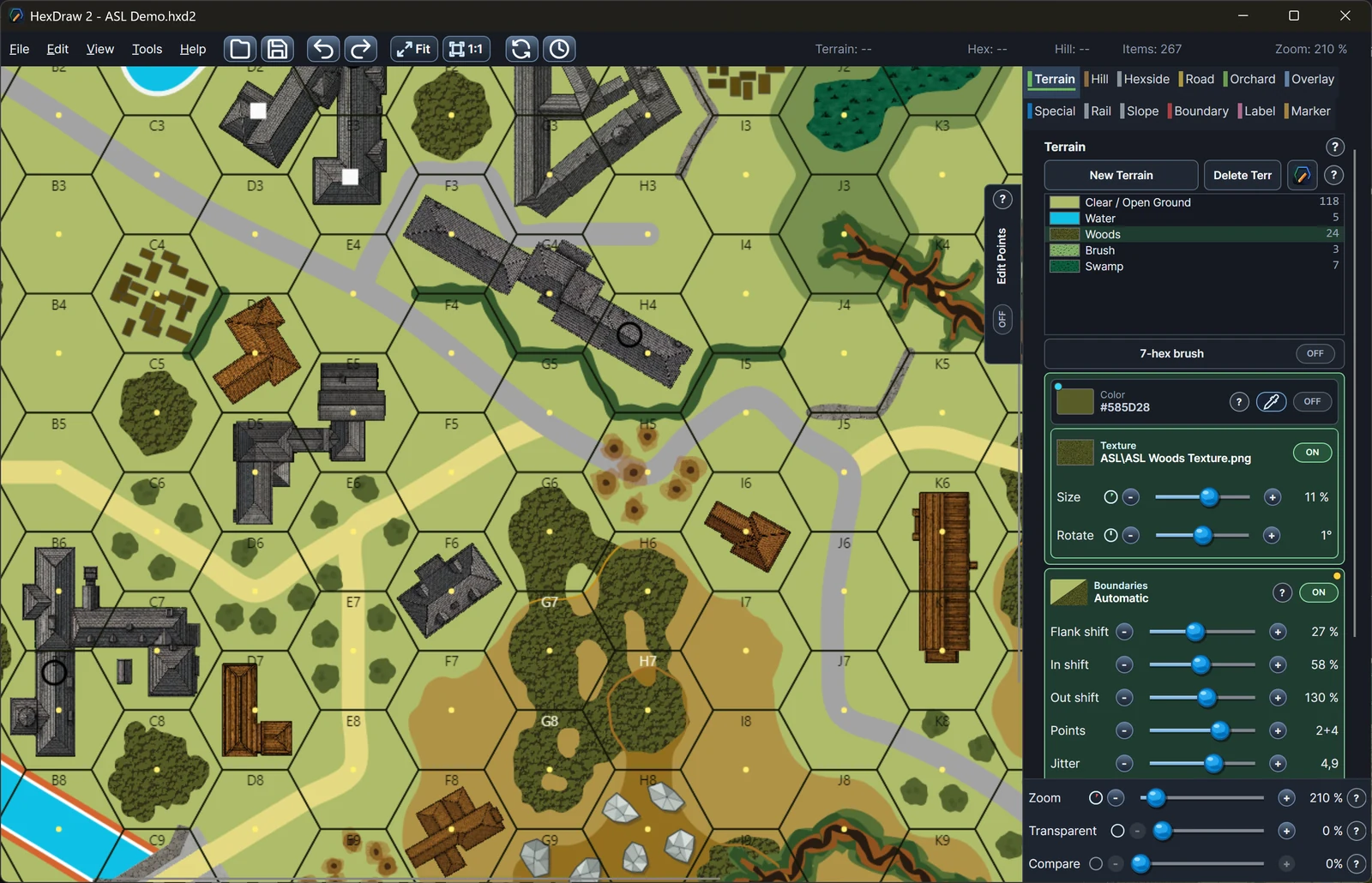
01 / Tactical geomorphs
Preconfigured Standard and Fort geomorph templates with matching grid, numbering, and map tools.
Explore ASL-compatible templates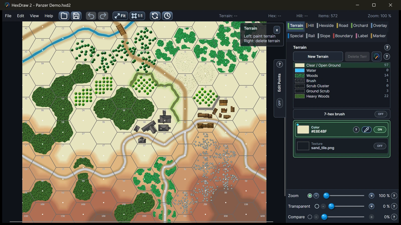
02 / Tactical battlefield
A blank tactical template with matching board dimensions, hex layout, numbering, and map tools.
Explore the Panzer map template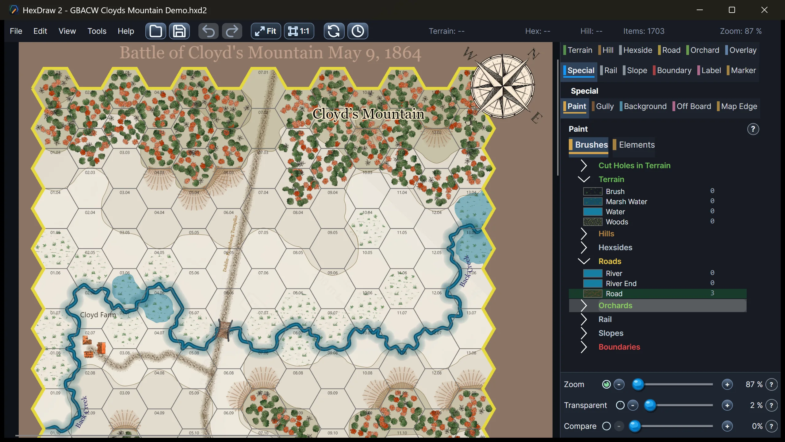
03 / Historical battlefield
A historical battlefield template with matching dimensions, numbering, terrain, and elevation tools.
Explore the GBACW map template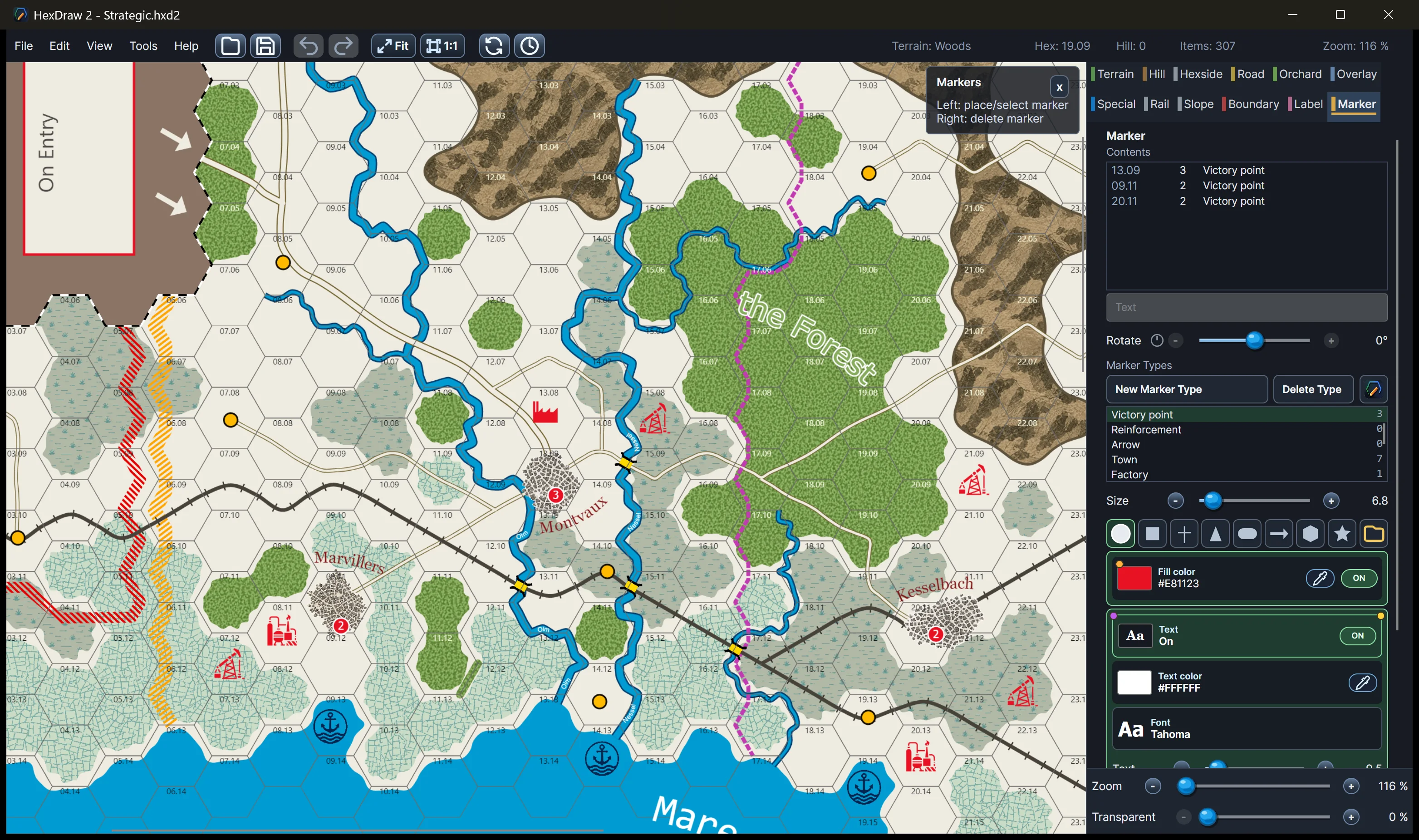
04 / Operational scale
A flexible template for large terrain regions, rivers, road networks, cities, and labels.
Explore the operational map template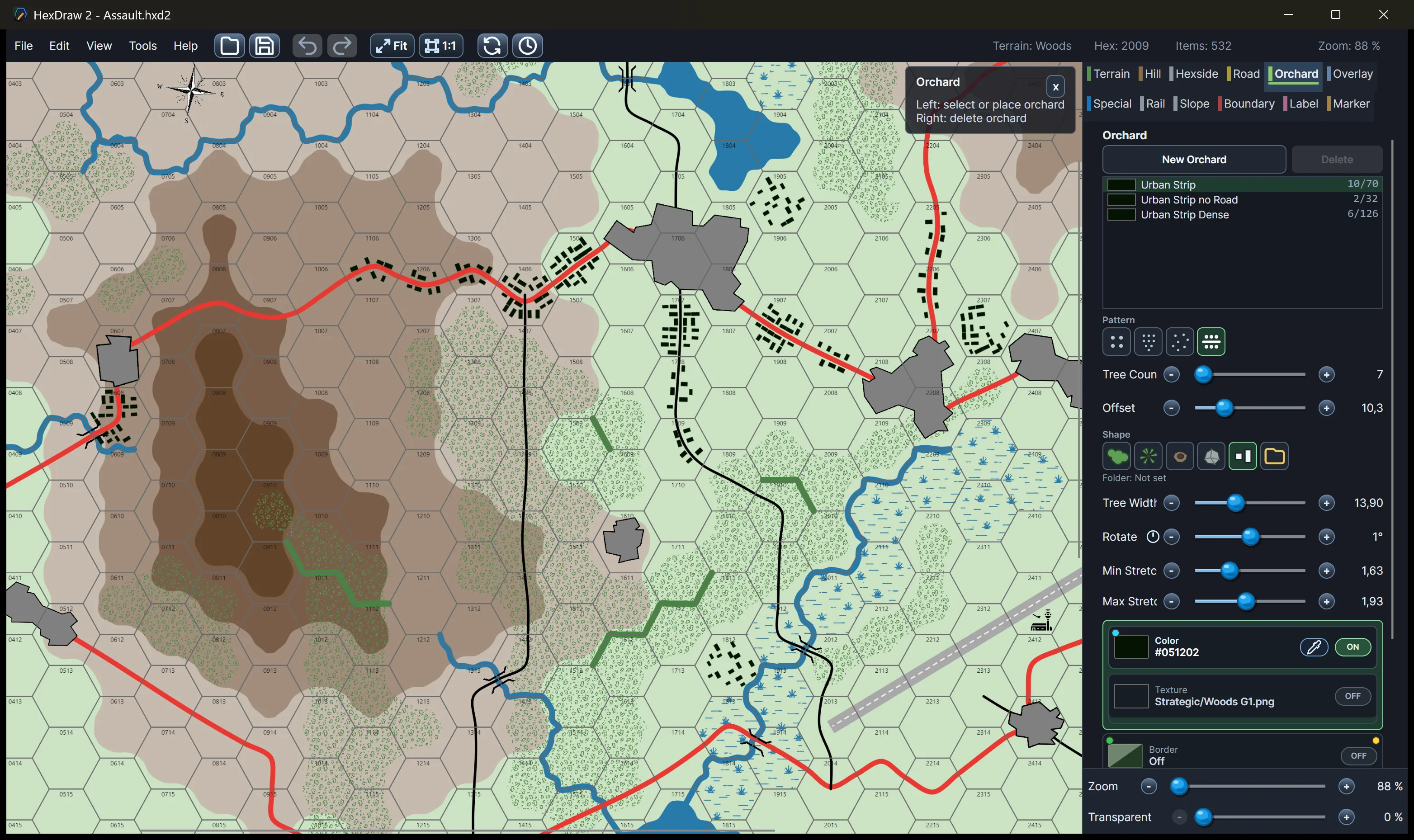
05 / Modern tactical geomorphs
A blank tactical geomorph template with matching grid, map edges, numbering, and terrain setup.
Explore the GDW Assault templateHexDraw 2 is an independent product and is not affiliated with, sponsored by, endorsed by, or approved by the publishers or rights holders of the games and series referenced above. Product and series names are used solely to describe compatible map formats and possible applications.
Core map-building tools
Eight focused toolsets cover the geometry, artwork, information, and output a wargame map needs.
01 / Grid
Choose a preconfigured map template from the New Map dialog, or define the complete board format yourself.
02 / Terrain
Create connected terrain shapes while keeping their contours available for detailed editing.
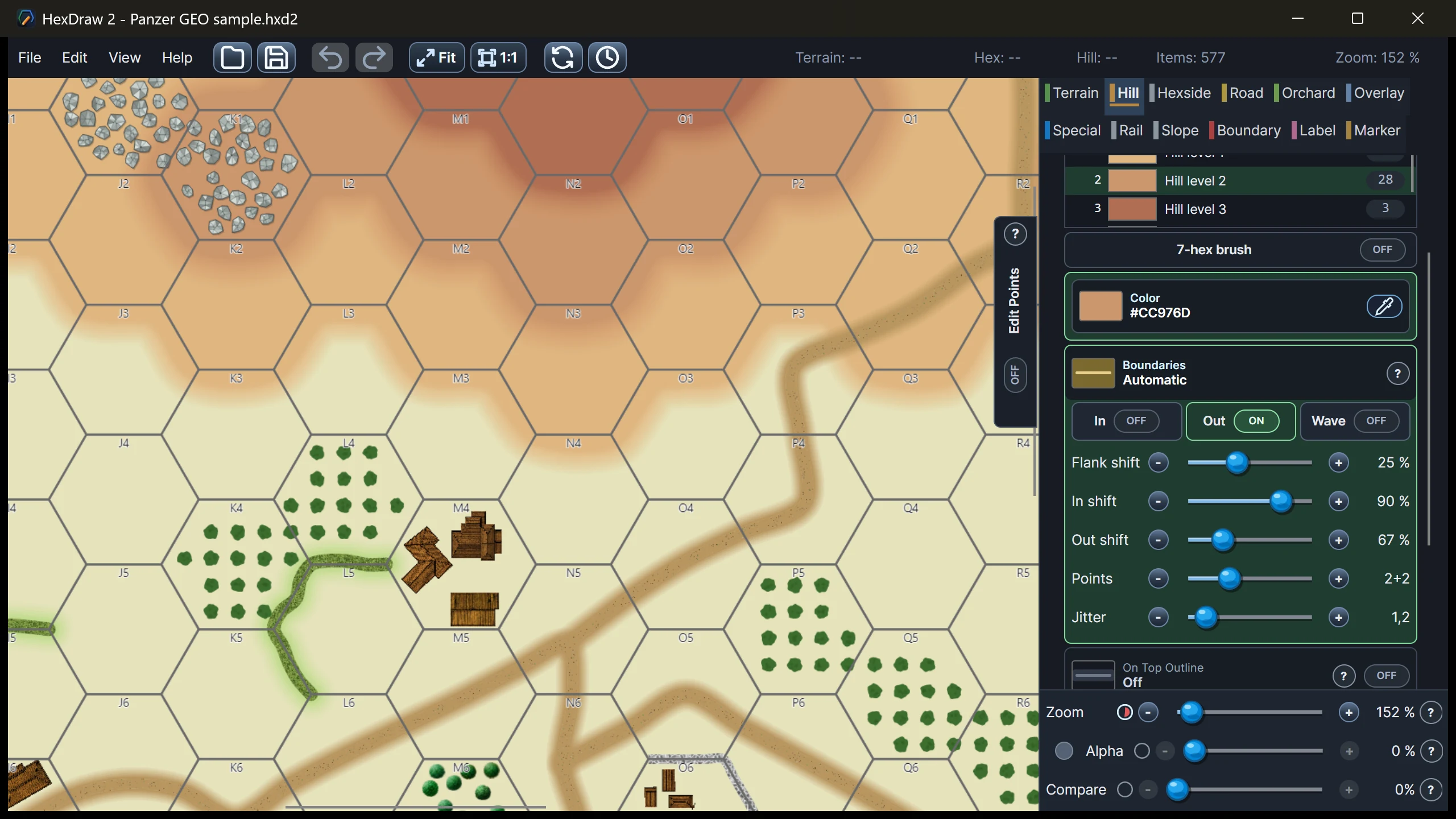
03 / Features
Use dedicated geometry for the lines and hex edges that carry gameplay information.
Place buildings along regular or Vector Paint roads while automatically keeping the roadway clear.
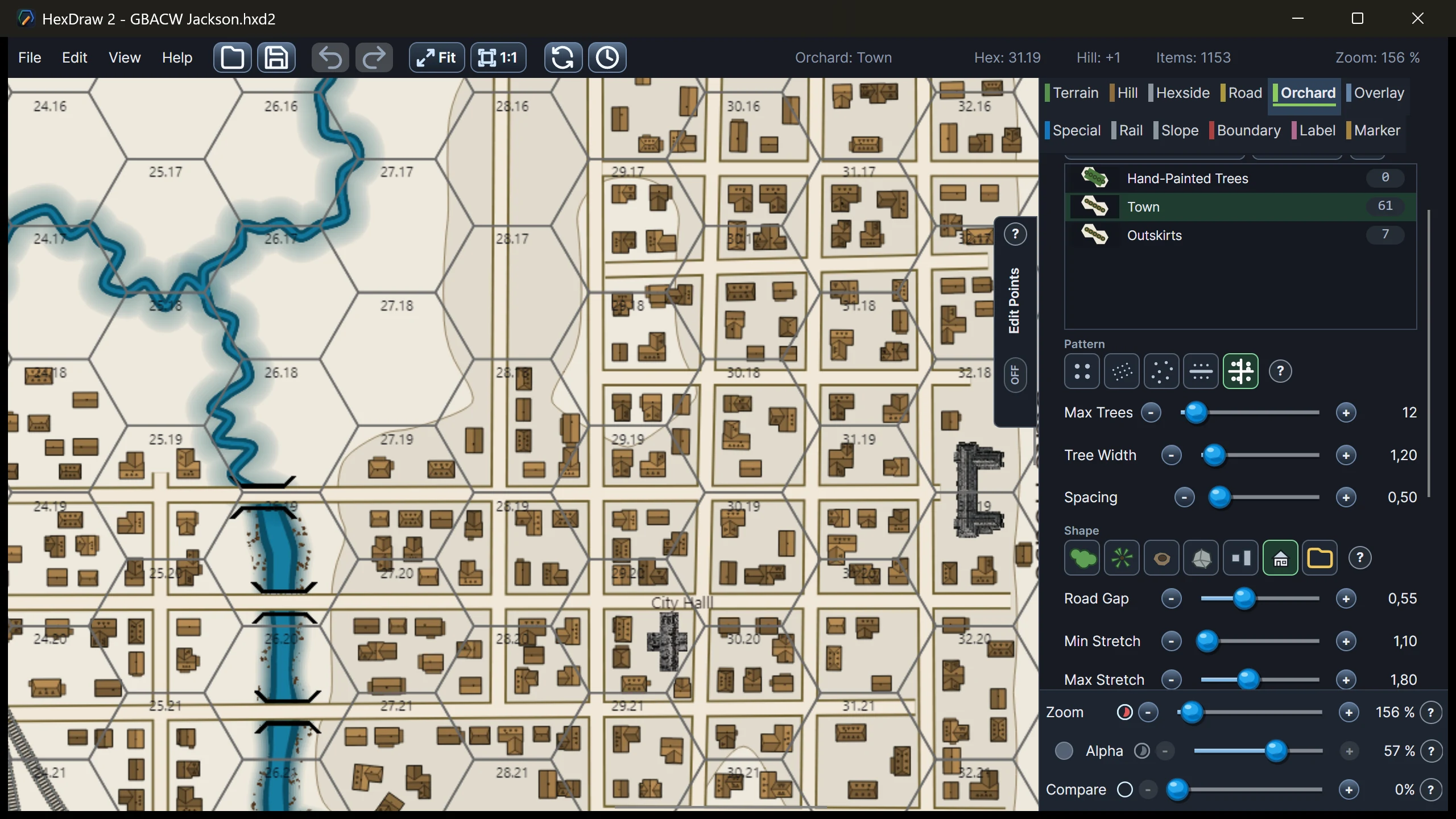
04 / Vector Paint
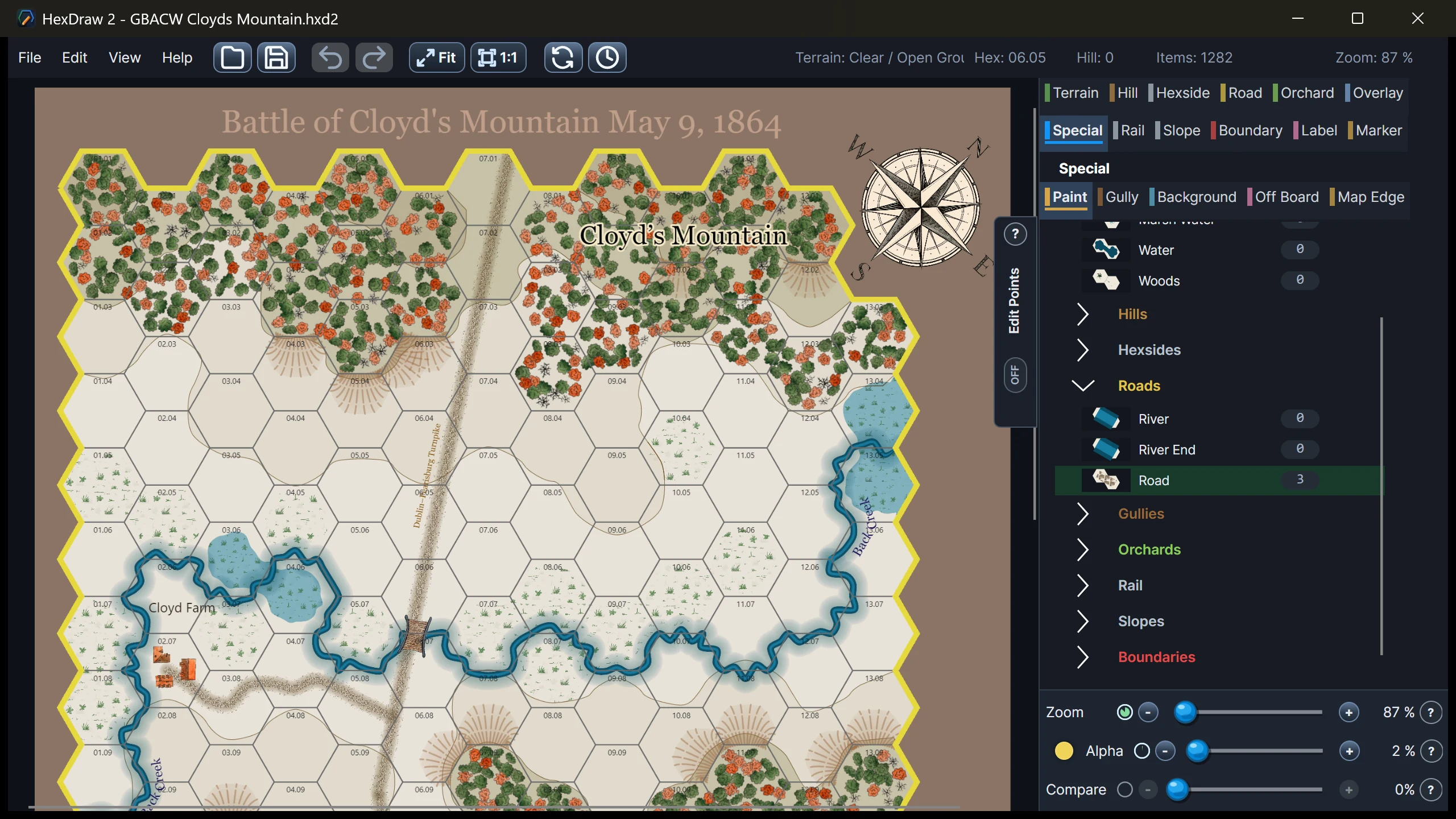
Draw long roads, rails, boundaries, slopes, terrain, hills, or orchards freely across the map. Every element remains selectable and editable.
05 / Artwork
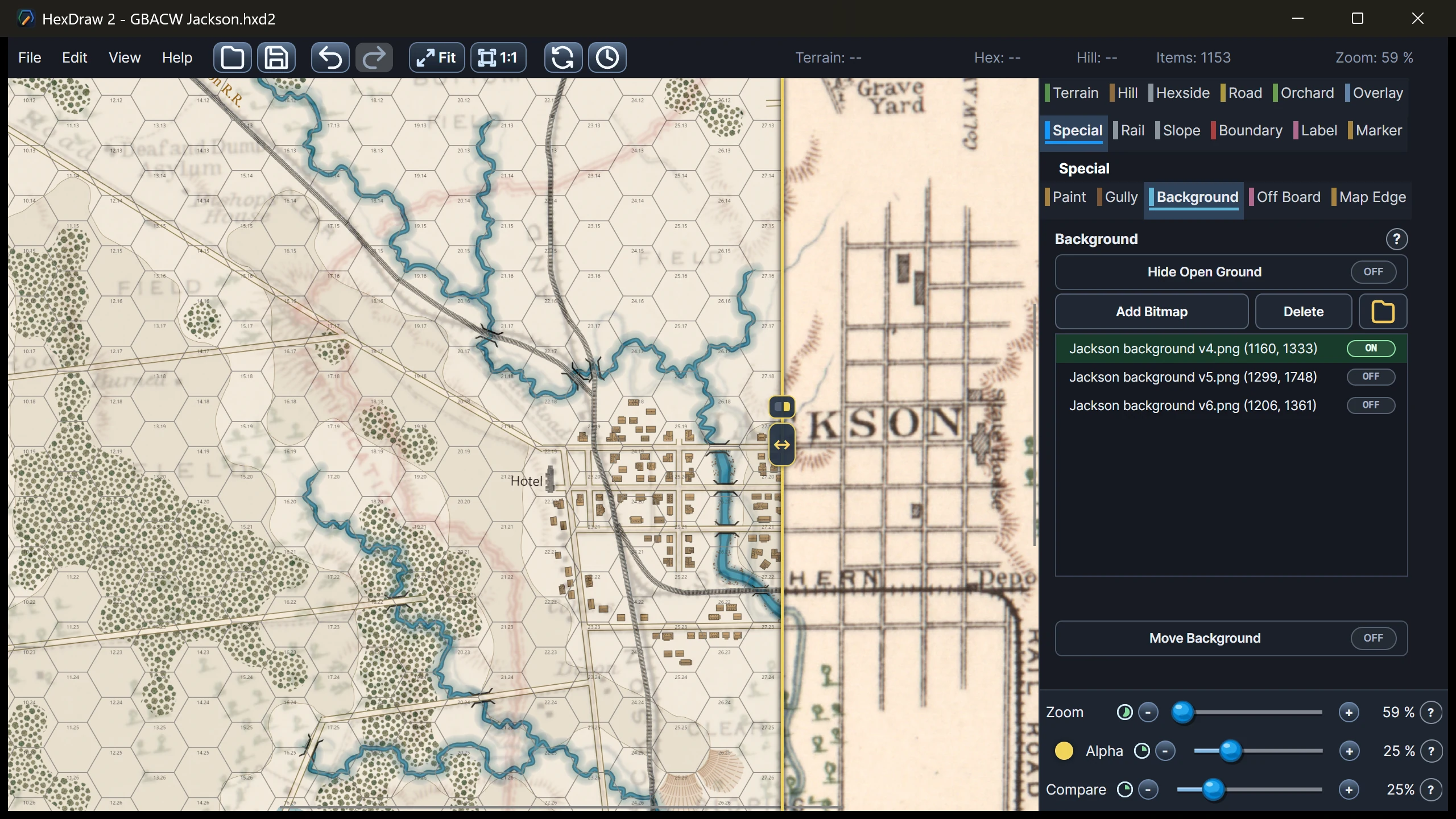
Place a permitted reference map beneath the grid, align and fade it while rebuilding terrain, then combine the result with reusable artwork.
06 / Information
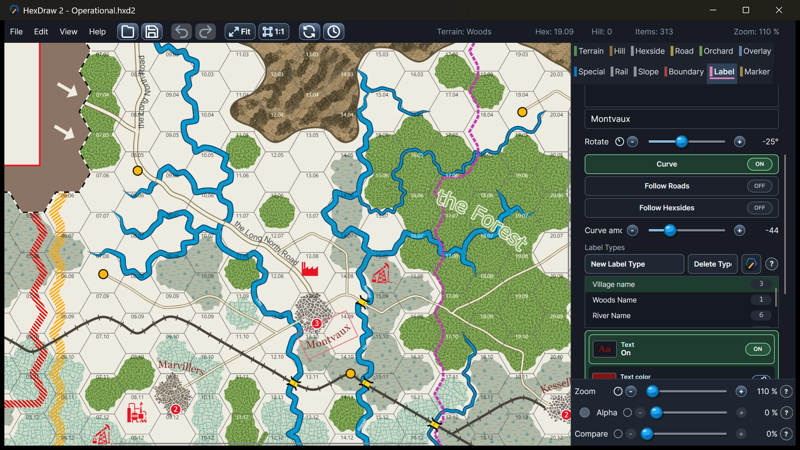
Keep names, scenario cues, and offboard information in the same editable map.
07 / Output
Check physical output early, then produce files for the table or a digital workflow.
08 / Markers
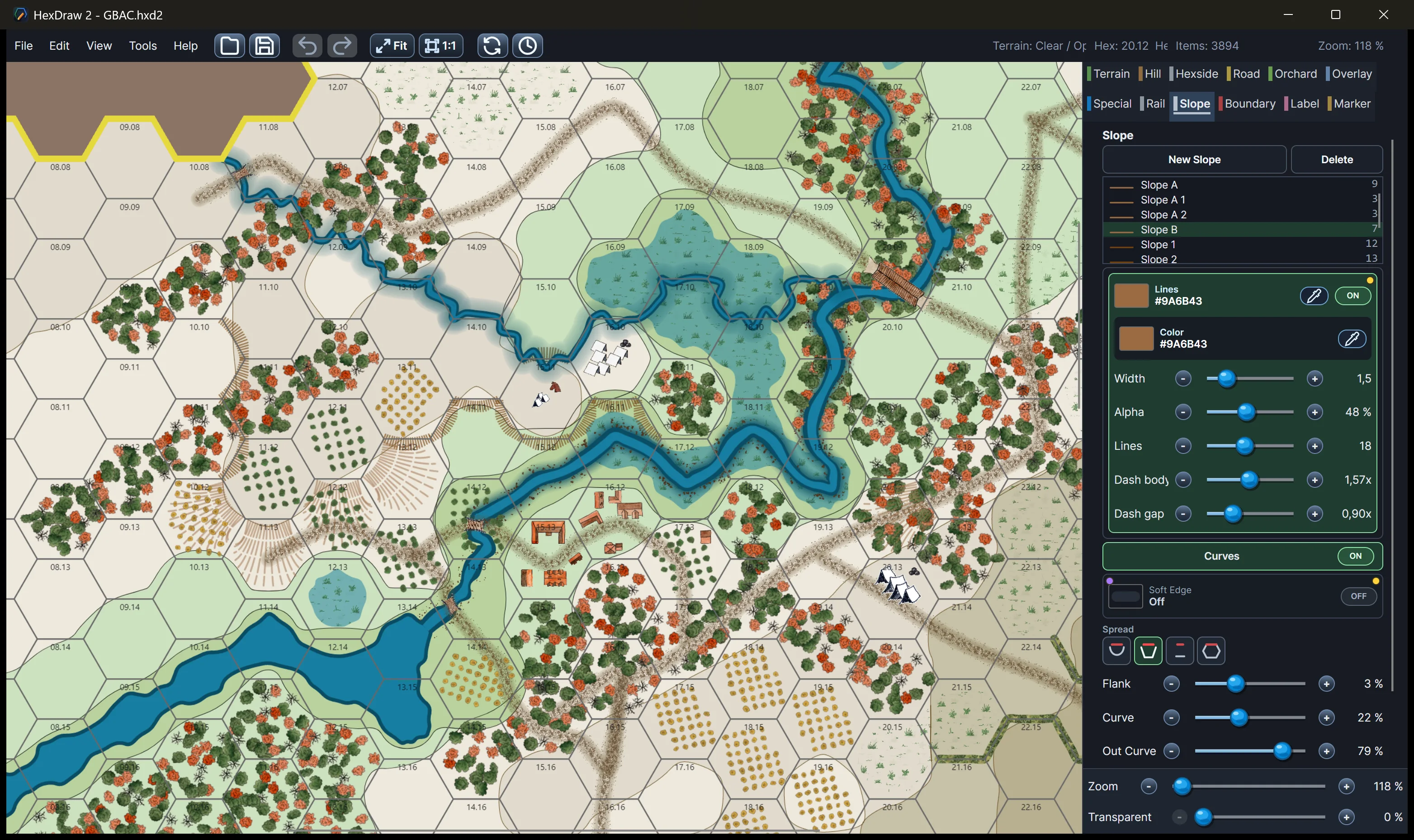
Define marker styles once, then place consistent symbols and scenario information across the map.
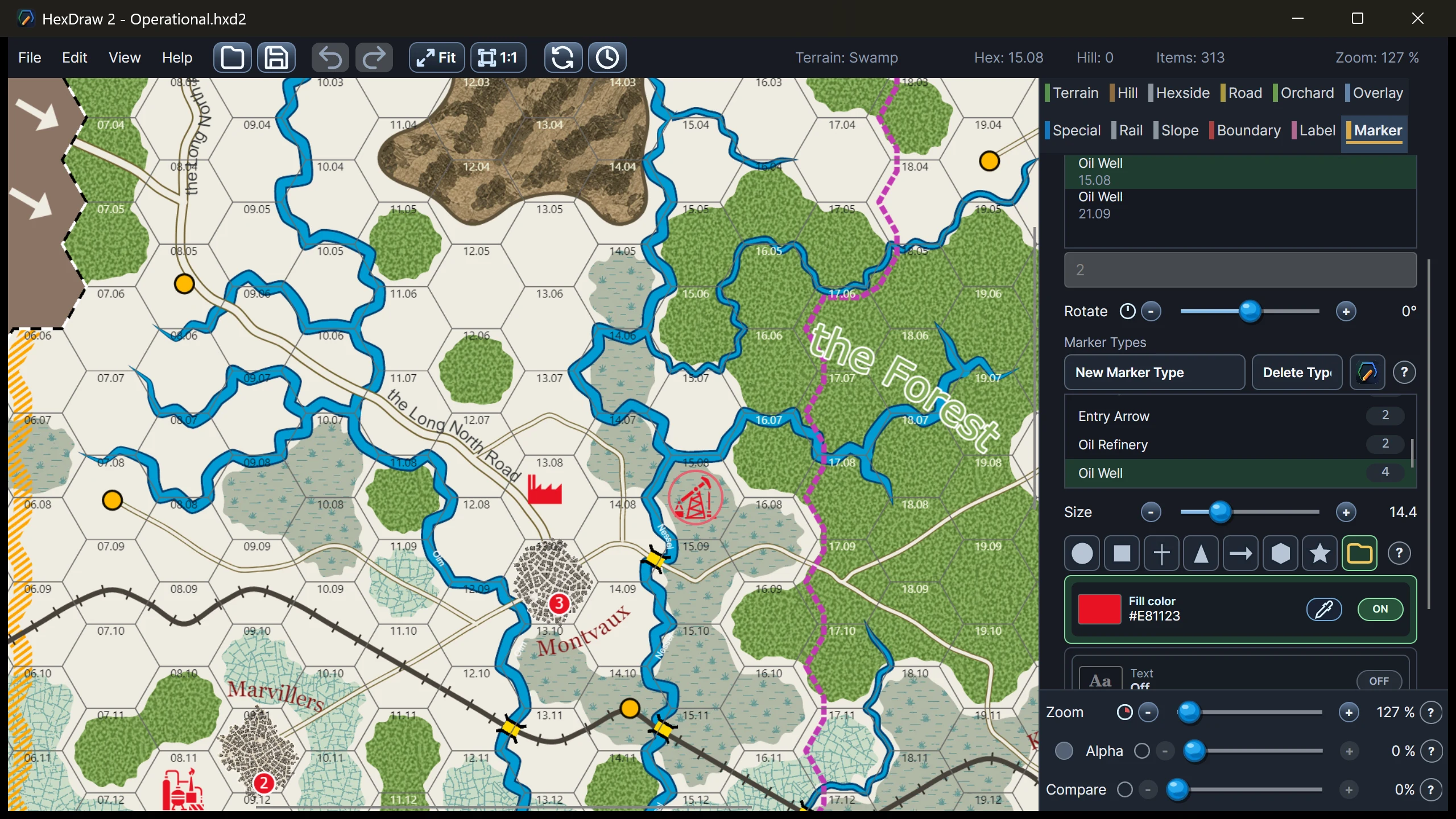
Inside HexDraw 2
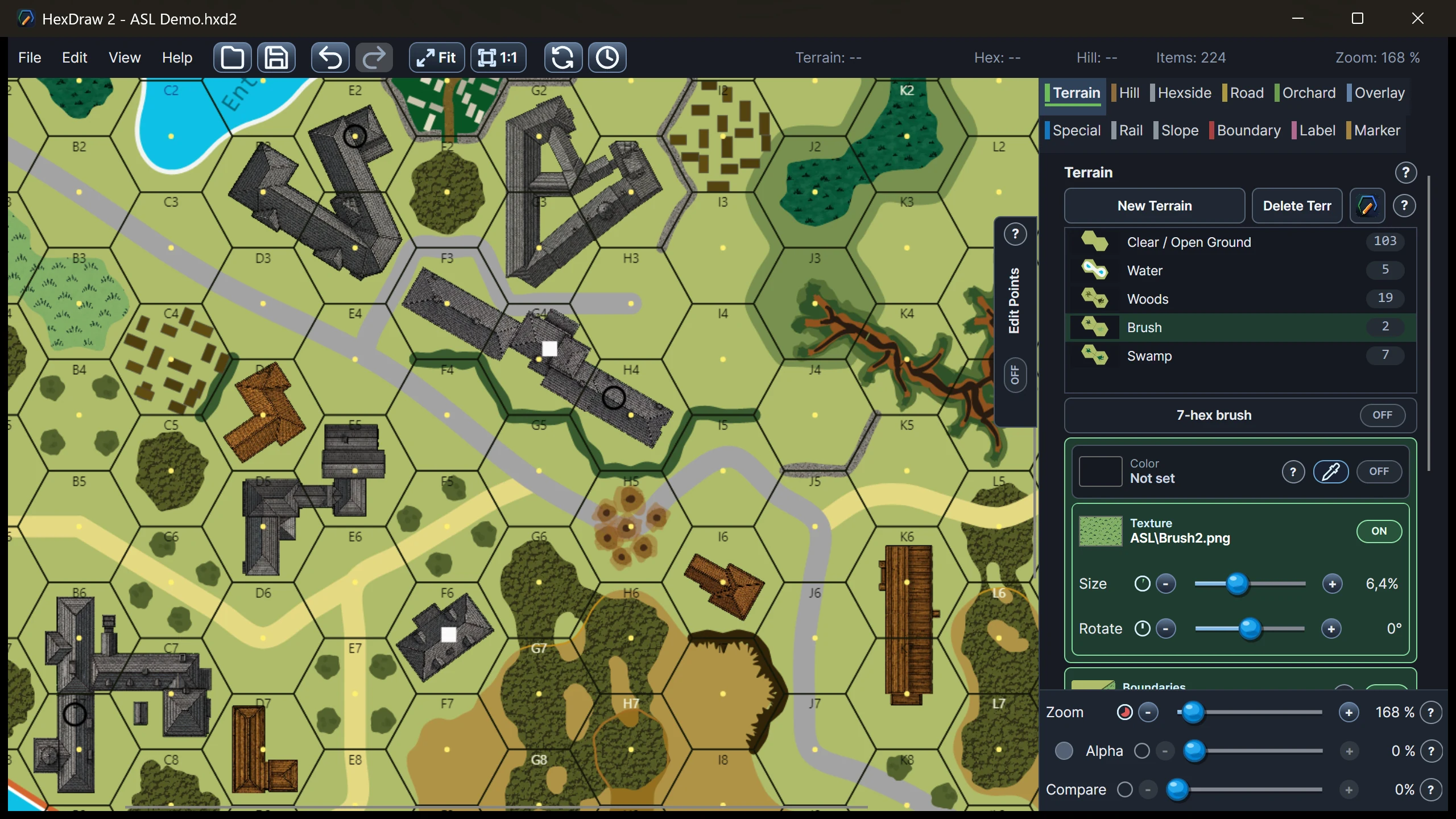
These real application screenshots show how terrain, roads, vector painting, road villages, overlays, labels, and markers remain visible and editable inside the same map-building workflow.
Product facts
Windows desktop applicationA classic local editor, not a browser service.
Offline map editingNormal map building does not require an internet connection.
Local artworkMaps and imported assets are not uploaded to private HexDraw servers.
Portable map packagesMap data and used bitmap assets stay together in .hxd2.
Available now for Windows
The Full version and the time-unlimited Demo are available from the Microsoft Store.
Occasional updates
Receive occasional HexDraw 2 product updates, release notes, and news.
FAQ
No. HexDraw 2 is a Windows desktop application and normal map editing works offline. The app contacts Microsoft Store services only when checking for application updates.
Performance depends not only on the size of a map, but also on its complexity and the number of individual elements it contains. Simple maps may work well on older computers, while very detailed maps containing thousands of trees, buildings, overlays, and painted elements can become slower.
The free demo includes detailed sample maps and is the best way to check how HexDraw 2 performs on your own Windows PC.
HexDraw 2 is available for Windows. A macOS version is technically possible, but it would require purchasing dedicated Mac hardware for development, signing, and testing. It may be considered later, but there is currently no confirmed release date.
An iOS or iPadOS version is not planned. HexDraw 2 is designed as a desktop map editor, and adapting its interface and workflow for touch devices would require substantial additional development.
The free HexDraw 2 Demo is available through the Microsoft Store.
If your browser blocks the Store app, use the Microsoft Store web listing.
Application updates are delivered through Microsoft Store services.
Yes. The .hxd2 format stores the map data and the bitmap assets used by the map in one self-contained package.
Yes. HexDraw 2 supports custom textures, background images, PNG and SVG overlays, marker shapes, and other reusable map artwork.
Yes. Maps you create with the Full version may be used, published, and sold in commercial projects without an additional HexDraw commercial license or royalties. This includes printed products, PDFs, other digital products, and VASL boards.
HexDraw’s drawing tools, blank templates, textures, buildings, and other included graphics may be used as parts of a finished map. You may not resell or redistribute the HexDraw software, sample maps, templates, or individual asset files on their own or as an asset pack.
You must have the necessary rights for any graphics, textures, logos, or reference maps you import. Some included marker symbols come from Game-icons.net and are licensed under CC BY 3.0; when you use them, provide the attribution required by that license. The included historical U.S. Army background maps have their own source notice; keep the recommended historical source credit when you use or trace them.
HexDraw does not grant rights to trademarks, logos, official maps, or other protected content belonging to third-party games or publishers. “Created with HexDraw 2” is appreciated, but not required.
Yes. The current HexDraw 2 library contains more than 140 stone and wooden building graphics for tactical hex maps. The selection ranges from single-hex buildings to large multihex structures and complexes spanning four or more hexes.
Buildings can be placed, scaled, rotated, and mirrored individually. The Demo includes a selected artwork collection.
Yes. A reference image can be placed beneath the map, then positioned, scaled, rotated, and faded while terrain and features are rebuilt above it. Users remain responsible for having the necessary rights to the source material.
Yes. HexDraw 2 supports printable PDF output, including tiled A4 and Letter output and custom physical board dimensions.
Yes. HexDraw 2 can create VASL board packages. LOS data is not included.
No. HexDraw 1.1 uses a different legacy format and those maps must be recreated in HexDraw 2.
No. HexDraw 2 includes preconfigured blank templates for ASL-compatible Standard and Fort boards, GMT Games’ Panzer and GBACW formats, operational wargame maps, and GDW Assault-style geomorphs. You can also create completely custom flat-top or pointy-top map formats with your own dimensions, numbering, grid pitch, and artwork.
The Full version removes the Demo’s 13 × 13 map limit, enables Print, Print Preview, Page Setup, and export functions, and includes expanded artwork and sample content.
Maps saved by the Demo remain ordinary .hxd2 files and can be continued in the Full version.
Get HexDraw 2 from the Microsoft Store app.
If your browser blocks the Store app, use the Microsoft Store web listing.
The Demo is intended for learning the HexDraw 2 map-building workflow and creating small maps.
The following limitations apply:
Maps saved by the Demo remain ordinary .hxd2 files.