
Tactical armored warfare maps
Create original maps for GMT Games’ Panzer Series
Begin with a preconfigured blank tactical board, then use HexDraw 2 to create original terrain suited to the scale and structure of GMT Games’ Panzer Series.
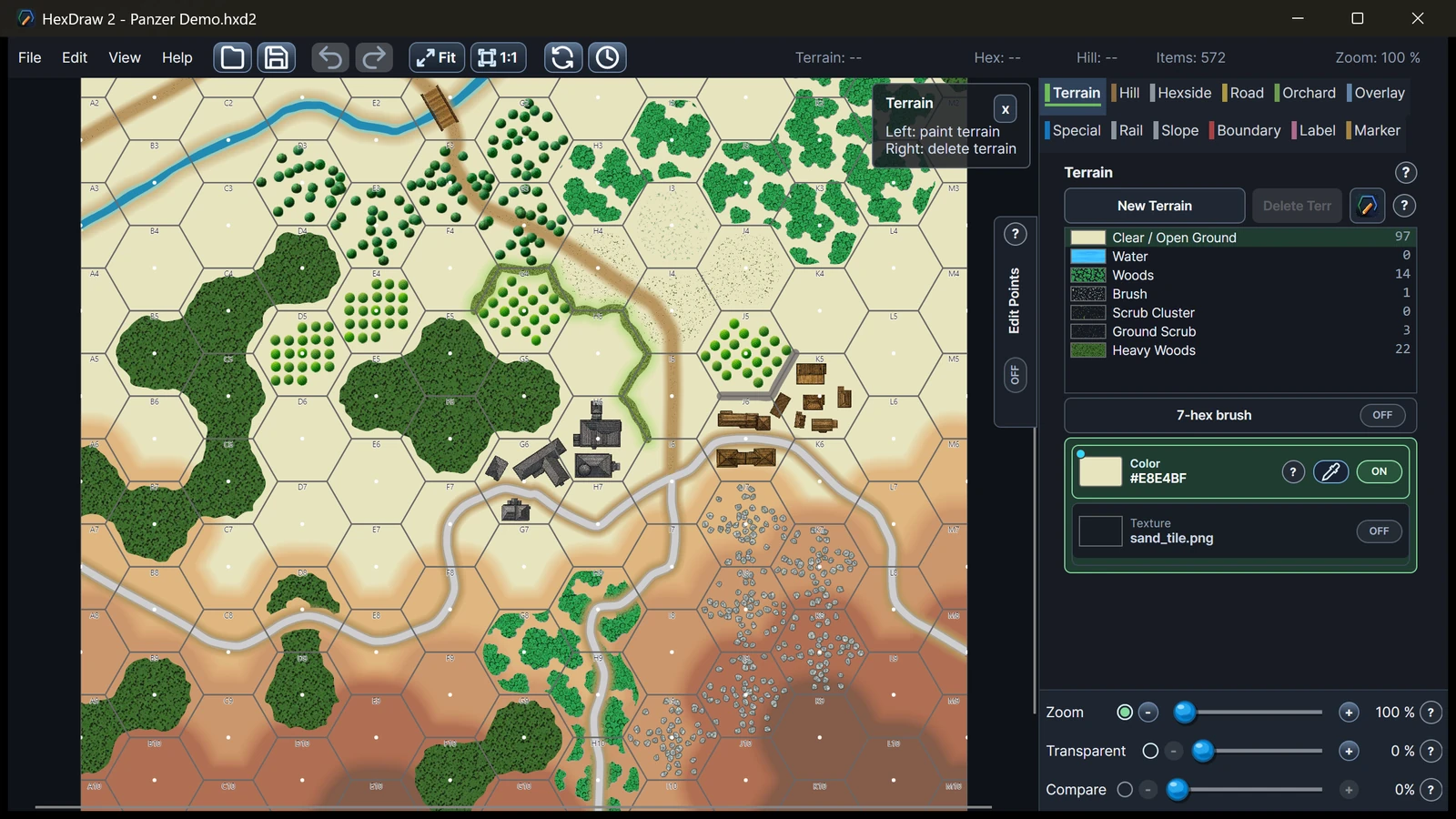
Board setup
What the blank template preconfigures
The Panzer preset establishes the map dimensions, physical hex dimensions, numbering system, grid, and map-edge configuration before any terrain is added. This keeps the board format consistent while leaving the battlefield itself completely open.
- Predefined board dimensions
- Appropriate hex dimensions
- Numbering and map edges
- Blank tactical board ready for terrain
Map characteristics
Terrain designed for tactical movement and sight lines
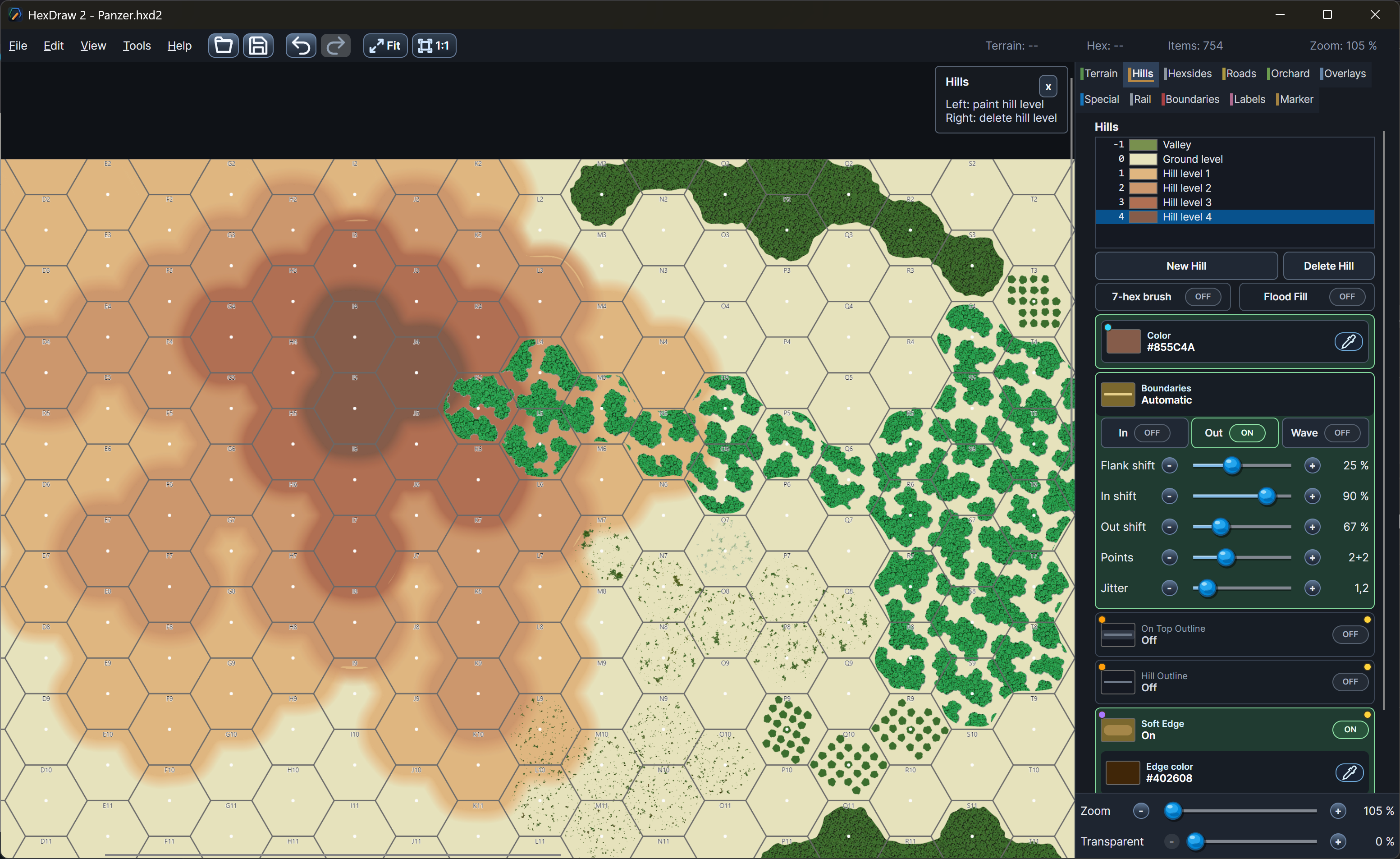
Panzer-style maps need clear changes in elevation and terrain density across a tactical battlefield. Hills, soft elevation transitions, roads, woods, watercourses, buildings, and settlements create movement choices while remaining legible against the numbered hex grid.
Relevant tools
Shape elevations, routes, and settlements
HexDraw 2 combines editable hill levels and terrain contours with dedicated road geometry, woods, water, buildings, and labels. Elements remain separate and editable, so a ridge can be reshaped or a route moved without repainting the entire map.
- Positive hill and valley levels
- Soft or sharp elevation edges
- Roads, woods, and watercourses
- Buildings and settlement artwork
Template details
Blank board, numbering, and terrain views
Flexible by design
All template settings can still be changed
Adjust the dimensions, hex pitch, numbering, edges, terrain styles, artwork, or output whenever the needs of an original scenario call for a different setup.
Return to all HexDraw map templatesHexDraw 2 is an independent product and is not affiliated with, sponsored by, endorsed by, or approved by the publishers or rights holders of the games and series referenced on this page. Product and series names are used solely to describe compatible map formats and possible applications.